Watershed Resource Inventories
(Watershed, Regional, and Site Level)
|
Watershed and regional planning brings communities together and empowers them to improve their local environment. Site planning can stand alone or it can be a component of such larger planning efforts to increases natural function in a given region or watershed. OES works with teams of professionals to provide planning services to address water quality, natural area connectivity, and other environmental needs of the area. Planning involves working with volunteers and local professionals to determine environmental problems and sources, create goals and a vision, and form an action plan.
To determine environmental problems and sources in a given watershed, whether large or small, OES conducts resource inventories to document land uses, bodies of water, erosion, soils, and other relevant resources. OES also runs pollutant models using information collected in our inventories to estimate the amount of different nonpoint source pollutants entering a watershed's bodies of water. Select Projects:
A Cleaner Levings Lake, Rockford, Illinois 2016-2017. OES is working with the Rockford Park District to plan and implement multiple best management practices to address pollution entering Levings Lake, home of West Rock Wake Park and local fishing lake. BMPs include constructed stormwater wetlands, BioHaven floating treatment wetlands, Elevated BioSwales and Silt Quilts, and filter strips. OES assisted the District in writing a grant to fund a watershed plan in order to work with upstream landowners to better protect the stream and lake. Candlewick Lake Watershed Action Plan, Poplar Grove, Illinois 2013-2014. OES worked with Candlewick Lake Association and other stakeholders to identify problem areas in the upstream watershed and along the lake’s edge and provide solutions to improve the lake’s water quality. OES secured funding for this planning effort on behalf of the Association from the Illinois Environmental Protection Agency. Clear Creek Watershed Action Plan, Dixon, Illinois, 2008 to 2011. OES worked with local stakeholders and environmental organizations to plan the reduction of nonpoint source pollution and improve water quality in the Clear Creek watershed near Dixon, Illinois using proactive, ecologically sound practices. OES secured funding on behalf of the Lost Nation/New Landing River Conservancy District from the Illinois Environmental Protection Agency. Spring Branch Sub-watershed Plan, Stephenson County, Illinois, 2014 scheduled to 2016. OES is working with Blackhawk Hills RC&D and the Yellow Creek Watershed Partnership to create a watershed plan for an impaired, headwater stream to the Pecatonica River: Spring Branch. OES secured funding on behalf of Blackhawk Hills from the Illinois Environmental Protection Agency. |
Plant and Wildlife Surveys
(E&T Species, Plant Monitoring, and Tree Inventories)
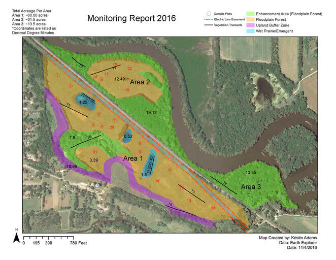
Along with the mitigation of wetlands and streams and permitting the development that impacts them comes monitoring and surveying for planting success and impacts to threatened and endangered species. OES provides these services with associated reporting & provides consultation for avoidance or mitigation as appropriate.
|
Select Projects:
Bass Creek Wetland Mitigation Bank, Afton, WI. OES monitors the success of the mitigation of the emergent and forested wetland restoration at the bank site annually and makes recommendations to the bankers and permitting agencies for site improvement. Northern Illinois Wetland Bank, Cherry Valley, IL. OES monitored the success of the wetland bank’s first year, provided annual report to the Army Corps of Engineers and accompanied the regulating agencies on their site visit. Moredock Lake, Monroe County, IL. OES conducted plant surveys to assess damage caused to native habitats for Moredock Lake Club to determine restoration needs. Mercy Hospital Campus, Rockford, IL. OES assessed potential T&E species habitat prior to the hospital’s construction. Interstate Boulevard Culvert Crossing, Loves Park, IL. OES assessed potential T&E species habitat prior to road construction. |
Wetland Delineation and Assessments
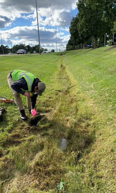
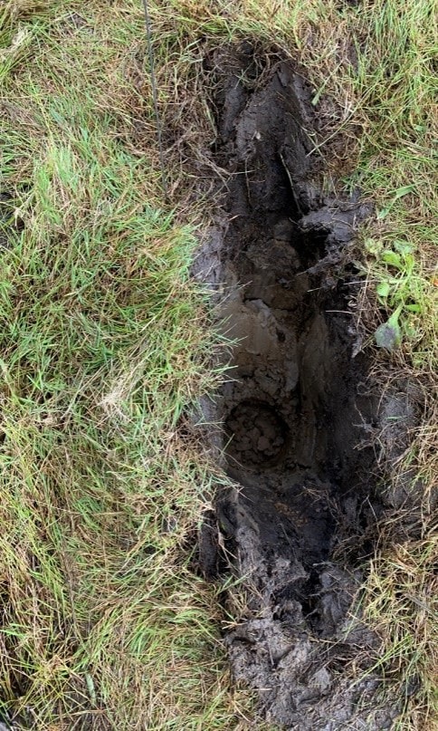
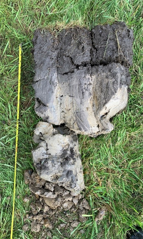
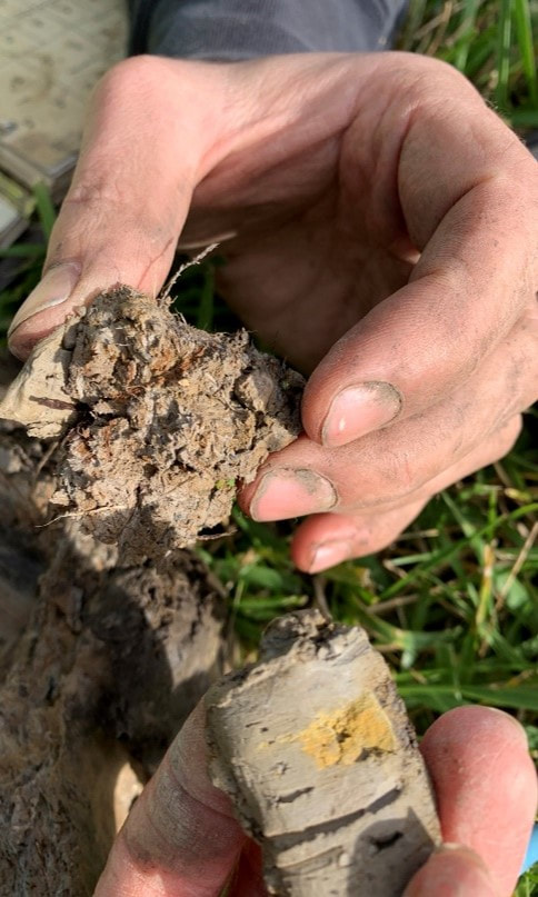
If a client is looking to plan development in a natural area or even a mowed grass area, they will be subject to regulatory compliance with local, state, and federal organizations or agencies if a wetland is present in or in the near vicinity of the the project site. OES conducts thorough investigations to delineate any wetland boundaries that may be present in or near a given project site. We deliver a detailed report to the client that provides relevant information to support regulatory compliance, for both the client and the regulatory entity. Additionally, OES provides less thorough investigations known as 'Wetland Assessments' that are useful for clients who do not anticipate any wetlands are located on their property and are hesitant to move forward with a full delineation.


