Olson Ecological Solutions, LLC
  • Home
  • Who We Are
  • Services
    • Assess
    • Plan
    • Design
    • Mitigate
    • Preservation and Restoration
  • Projects
  • Watershed Plans
    • Winneshiek Creek
    • South Fork Kent Creek
    • East Fork Creek
    • Spring Branch
    • Friends Creek
    • Candlewick Streams & Lake Conservation Plan
  • Resources
  • Testimonials
  • Careers
  • Contact Us

Region 1 Planning Council's Watershed Education and Outreach Project

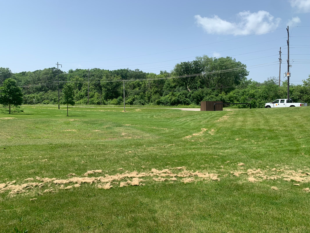
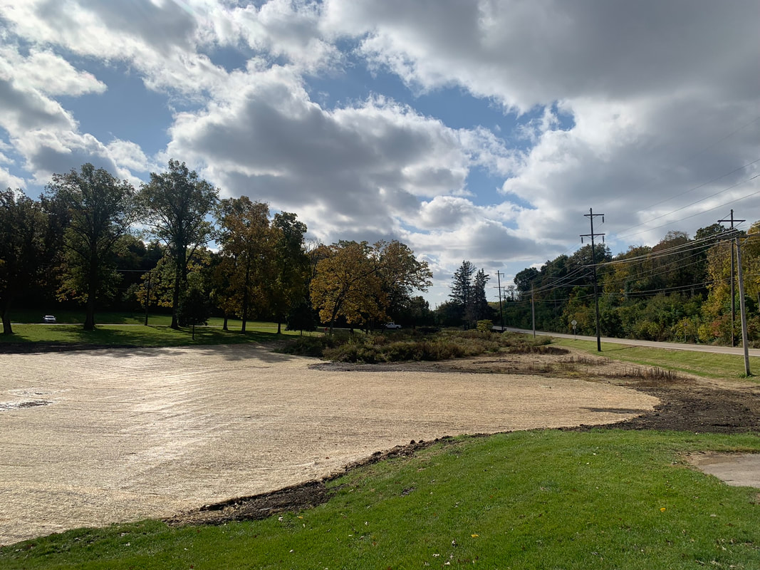
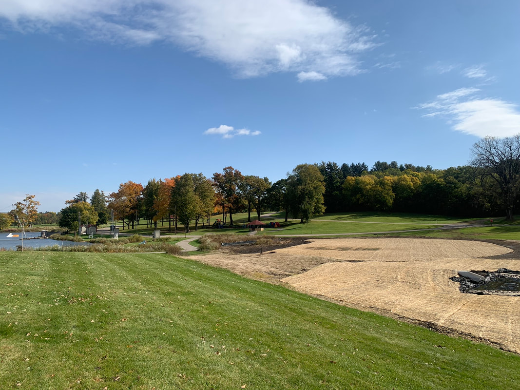
We’re happy to be partnering with Region 1 Planning Council and several other partners on their Watershed Education and Outreach project, funded in part by the Illinois Environmental Protection Agency’s Section 319 Grant Program. In addition to conducting outreach and disseminating information about nonpoint source pollution issues in the region and best management practices (BMPs) for addressing such issues, the project will involve two example BMPs located within the Buckbee Creek Watershed and the South Fork Kent Creek Watershed.

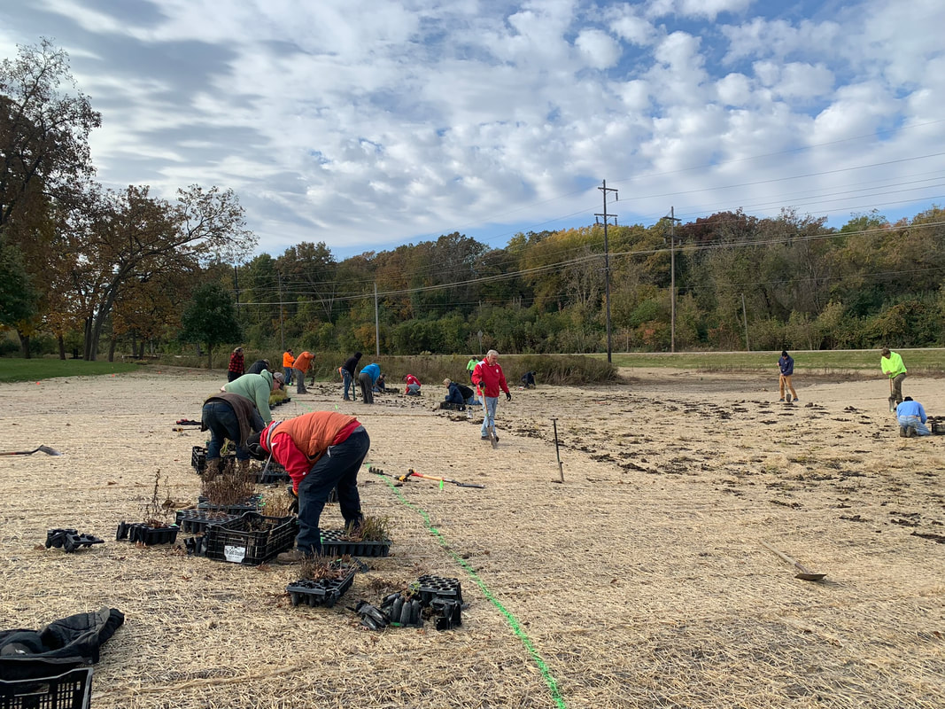
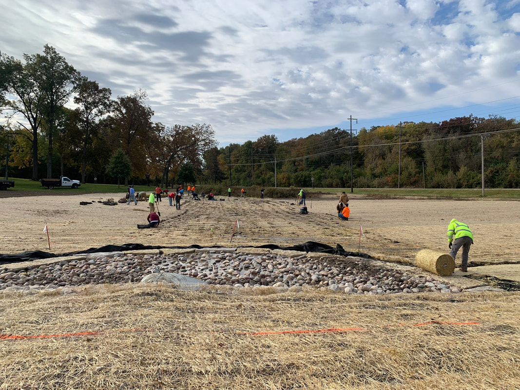
We have completed the planting and management plans for one of these BMPs designed for Park-er Woods and are eager for the project to break ground! We will also be assisting with the plant installation for both projects. If you are interested in joining in as a volunteer for one or several of the planting days for these projects, or simply want to know more about the project and nonpoint source pollution issues, visit the link below!


engager1.mysocialpinpoint.com/watershed-education-outreach


Additionally, if you are a landowner within the South Fork Kent Creek Watershed or Buckbee Creek Watershed, you are welcome to follow the link above to R1's website to request technical assistance from OES. OES will assess your property and provide a concept plan for potential BMPs on your property, which will include a map and details about the benefits and costs of BMPs.

Picture
Picture

Babbling Brook & Lost Lake Stabilization Educational EPA Video

Levings Lake Stormwater Treatment Train

Utilizing funding awarded by the Illinois Environmental Protection Agency's (IEPA) Green Infrastructure Grant Opportunities (GIGO) Program, OES worked in collaboration with engineers at Fehr Graham to design a series of green infrastructure on the south side of Levings Lake in Rockford, Illinois. The project's main goal was to improve the water quality of the lake by reducing non-point source pollution entering the lake with the installation of these natural solutions.
Before
The site is located on the east side of South Pierpont Avenue, south of the lake. Starting at the southern tip of the project site, before the project commenced, this area was a gently sloped roadside ditch within an 0.11-acre area, 140 feet long and typically 20 feet wide and 1 foot deep, that conveyed stormwater from a 490-acre watershed developed with residential, industrial, commercial, and agricultural lands. Water flowed north through this southernmost area and under a culvert into the remaining project area. This area was a mowed basin with surrounding slopes that has an approximately 3.83-acre footprint between the embankment of Pierpont Road and a hillside within Levings Park. Water flowing north into this area was directed into an underground stormwater drainage pipe that took water further north in this basin closer to Levings Lake, which lies just past the northern edge of the project area. The site also featured a slight berm running east to west in the northern half of the project area, and the foundations of an old tennis court, old sand volleyball court, and old basketball court also lying within the northern half of the project area. Below are some picture of the site conditions before the project commenced.

In-Progress

In the fall of 2022, a team composed of Rockford Park District staff and volunteers planted plugs through the erosion control blanket within the constructed stormwater wetland area.
After
Now, the roadside ditch at the southern tip of the project site is a bioswale complete with native plants. Water from this swale flows under the culvert to north into a constructed stormwater wetland before reaching a check dam that slows stormwater flow. Once through the check dam, the water continues on through the stormwater wetland basin and through two more check dams. This basin was re-graded and the berm was removed, leaving a basin of larger size than before. The stormwater wetland area has also been planted with native plants. Additionally, the stormwater wetland area is surrounded on nearly all sides by a filter strip of native plants where the basin slopes upward toward Levings Park to east and to South Pierpont Avenue to the west. Not only will these native plants and their deep-reaching roots help settle out sediment and filter pollutants before they enter the lake, but the plants will provide habitat for insects, small animals, and pollinators.
After photos coming soon...

Winneshiek Creek Watershed Plan

The Natural Land Institute (NLI) initiated this planning effort in 2019 when they worked with consultants and watershed stakeholders to collect existing information about the watershed’s current conditions. In 2019, they partnered with consultants from Olson Ecological Solutions (OES) and Tallgrass Restoration (TGR) to write the inventory, which yielded a detailed report that analyzed the land use, water bodies, soils, geology, climate, water quality, and demographics within the watershed. This report laid the foundation for the watershed planning process that began in January of 2021. OES worked with stakeholders of the Winneshiek Creek Watershed on developing a watershed plan informed by this resource inventory that would ultimately set goals to address water quality,  wildlife and plant habitat, recreational opportunities, and stewardship within the watershed.
Picture
Picture
Winneshiek Creek watershed is located just east of Freeport, Illinois, and is home to nearly 1,000 people.  Many of these people showed interest and actively participated in the voluntary watershed planning process. OES held 12 meetings with these stakeholders to discuss their vision and goals for the watershed, plus a meeting at the end of the planning process to kickoff the plan's implementation. Like the planning itself, once the plan is complete, implementing the recommendations in the plan remains voluntary and the document is in no way legally-binding. The final product of the plan is the Resource Inventory, Executive Summary, and Watershed Plan. Within the Watershed Plan, stakeholders are able to access our professional recommendations for how they can achieve the goals laid out in the plan. Many of these recommendations come in the form of Best Management Practices (BMPs), which are industry-approved practices that improve water quality, reduce non-point source pollution, improve wildlife habitat, reduce erosion, and more. These documents were prepared using United States Environmental Protection Agency funds under Section 319 of the Clean Water Act distributed through the Illinois Environmental Protection Agency (IEPA). The findings and recommendations contained within them are not necessarily those of the funding agencies, but the IEPA has adopted this work as an approved watershed plan for Winneshiek Creek. To view these documents, see our page on Winneshiek Creek.

OES

Home
Who We Are
Services
Projects
Watershed Plans
Resources
Testimonials
Contact Us
© 2025 Olson Ecological Solutions, LLC

CERTIFICATIONS

Women-owned Business Enterprise (WBE) - Certified by Cook County, State of Illinois, and Metropolitan Water Reclamation District of Greater Chicago

Disadvantaged Business Enterprise (DBE) - Certified by Illinois Department of Transportation (IDOT)

Certified Wetland Specialist in Lake County and McHenry County

Qualified Wetland Specialist in Kane County

Picture

2221 Hammond Dr.
Schaumburg, IL 60173
815-985-2689
  • Home
  • Who We Are
  • Services
    • Assess
    • Plan
    • Design
    • Mitigate
    • Preservation and Restoration
  • Projects
  • Watershed Plans
    • Winneshiek Creek
    • South Fork Kent Creek
    • East Fork Creek
    • Spring Branch
    • Friends Creek
    • Candlewick Streams & Lake Conservation Plan
  • Resources
  • Testimonials
  • Careers
  • Contact Us